

Skip to main contentMap - A Map of the Present Seat of War on the Borders of Canada. | McCord Museum 
Online Collections | McCord Museum - Montreal Social History Museum 


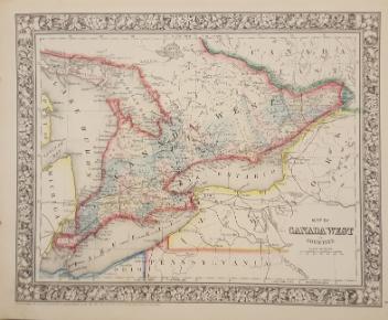


Map
A Map of the Present Seat of War on the Borders of Canada.
Artist
Robert Aitken
(1734 - 1802)
Date
1775
Medium / Technique
Ink on paper
Etching
Etching
DimensionsHeight: 42 cm (16 9/16 in.)
Image width: 15 cm (5 7/8 in.)
Width: 22 cm (8 11/16 in.)
Image height: 38.3 cm (15 1/16 in.)
ClassificationTools & Equipment for Science & Technology - Surveying & Navigational T&E - Navigational Equipment
Origin
Philadelphia, Pennsylvania, United States, North America
Object Number1970.3027
DivisionArchives - Maps and Plans
CollectionStewart
CreditPurchase
Status
Not on viewInformation about the objects in our collection is updated to reflect new research findings. If you have any information to share regarding this object, please email reference.mccord@mccord-stewart.ca.Information about rights and reproductions is available here.
Principal seats of the war of 1812-13-14 To accompany Williard's History of the United States.
Samuel Maverick
1982.110.2
A New Chart of the Vast Atlantic Ocean Exhibiting the Seat of War both in Europe and America
Emanuel Bowen
1755
1970.2181
A map exhibiting the dark shadow of the moon over England and other parts of Europe, in the five great solar eclipses, of the years 1715, 1724, 1737, 1748 and 1764
Robert Sayer
1794
1992.122
A new map of England and Wales in which the Roads or High-ways ar playnly layd forth...
Robert Walton
1679
1980.529
This project is made possible thanks to the generous support of the Azrieli Foundation and Canadian Heritage.