

Skip to main contentCarte géographique - Principal seats of the war of 1812-13-14 To accompany Williard's History of the United States. | Musée McCord 
Collections en ligne | Musée McCord - Musée d’histoire sociale de Montréal 


Carte géographique
Principal seats of the war of 1812-13-14 To accompany Williard's History of the United States.
Artiste
Samuel Maverick
(1789 - 1845)
InscriptionsPrincipal seats of the war of 1812-13-14 To accompany Williard's History of the United States. Engrv'd & Printed by Sam'l Maverick, N.Y.
Période
19e siècle
Médium / Technique
Encre sur papier
Taille douce
Taille douce
DimensionsHauteur : 28,3 cm (11 1/8 po)
Largeur de l'image : 17,7 cm (6 15/16 po)
Largeur : 22,6 cm (8 7/8 po)
Hauteur de l'image : 23,1 cm (9 1/8 po)
Origin
New York, New York, New York, États-Unis, Amérique du Nord
Numéro d'accession1982.110.2
DivisionArchives - Cartes et plans
CollectionStewart
CréditAchat
Status
Non exposéL’information sur les objets de nos collections est mise à jour afin de refléter les résultats de nouvelles recherches. Si vous avez des renseignements au sujet de cet objet à nous communiquer, veuillez faire parvenir un courriel à reference.mccord@mccord-stewart.ca.L’information au sujet des droits d’auteur et des reproductions se trouve ici.
Sectional Map Indicating Main Automobile Roads between Canada & United States
1929
W.2012.38.1-3
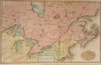
A Map of the Present Seat of War on the Borders of Canada.
Robert Aitken
1775
1970.3027
A New Chart of the Vast Atlantic Ocean Exhibiting the Seat of War both in Europe and America
Emanuel Bowen
1755
1970.2181
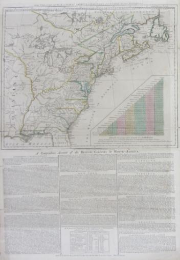
The theatre of war in North America, with the roads and a table of the distance.
Robert Sayer & John Bennett
1776
1970.1901
A chart of the Sea coast from England to the Streights
Samuel Thornton
1706
1979.290
Ce projet est rendu possible grâce au généreux soutien de la Fondation Azrieli et de Patrimoine canadien.