

Skip to main contentCarte géographique - A Map of the Present Seat of War on the Borders of Canada. | Musée McCord 
Collections en ligne | Musée McCord - Musée d’histoire sociale de Montréal 


![[Carte des missions jésuites à travers le monde]](/internal/media/dispatcher/245357/thumbnail)


Carte géographique
A Map of the Present Seat of War on the Borders of Canada.
Artiste
Robert Aitken
(1734 - 1802)
Date
1775
Médium / Technique
Encre sur papier
Eau-forte
Eau-forte
DimensionsHauteur : 42 cm (16 9/16 po)
Largeur de l'image : 15 cm (5 7/8 po)
Largeur : 22 cm (8 11/16 po)
Hauteur de l'image : 38,3 cm (15 1/16 po)
Origin
Philadelphia, Philadelphie, Pennsylvanie, États-Unis, Amérique du Nord
Numéro d'accession1970.3027
DivisionArchives - Cartes et plans
CollectionStewart
CréditAchat
Status
Non exposéL’information sur les objets de nos collections est mise à jour afin de refléter les résultats de nouvelles recherches. Si vous avez des renseignements au sujet de cet objet à nous communiquer, veuillez faire parvenir un courriel à reference.mccord@mccord-stewart.ca.L’information au sujet des droits d’auteur et des reproductions se trouve ici.
Principal seats of the war of 1812-13-14 To accompany Williard's History of the United States.
Samuel Maverick
1982.110.2
A New Chart of the Vast Atlantic Ocean Exhibiting the Seat of War both in Europe and America
Emanuel Bowen
1755
1970.2181
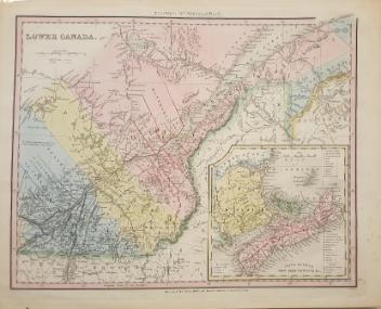
Carte de Canada qui comprend la Partie Septentrionale des Etats Unis d'Amerique
Guillaume de L'Isle
1783
1976.113.5
Carte géographique des postes qui traversent la France...
Melchior Tavernier
1632
1973.8
Carte Particulière du Fleuve Saint Louis dressee sur les lieux avec les noms des sauvages du pais; des marchandises qu'on y porte & qu'on en reçoit, & des animaux, insectes, poissons, arbres & fruits des parties septentrio'es & meridion'es de ce païs.
Henri Abraham Chatelain
1732
1980.512
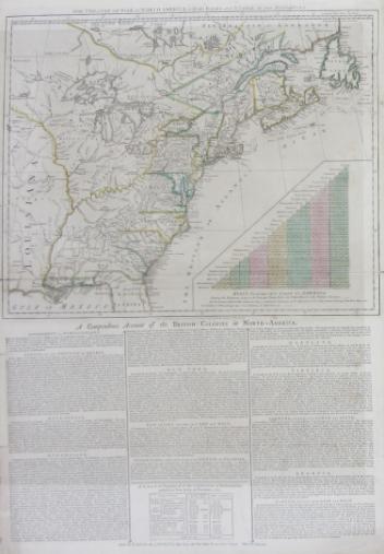
The theatre of war in North America, with the roads and a table of the distance.
Robert Sayer & John Bennett
1776
1970.1901
A map exhibiting the dark shadow of the moon over England and other parts of Europe, in the five great solar eclipses, of the years 1715, 1724, 1737, 1748 and 1764
Robert Sayer
1794
1992.122
A new map of England and Wales in which the Roads or High-ways ar playnly layd forth...
Robert Walton
1679
1980.529
Ce projet est rendu possible grâce au généreux soutien de la Fondation Azrieli et de Patrimoine canadien.