

Skip to main contentMap - The British Governments in North America | McCord Museum Online Collections | McCord Museum - Montreal Social History Museum 


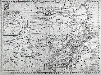


Map
The British Governments in North America
Engraver
John Gibson
(deceased 1792)
InscriptionsCartouche, h.g.: THE BRITISH / GOVERNMENTS / in / N.TH AMERICA / Laid down agreeable to the / PROCLAMATION / of / OCT.R 7,1763; cartouche, b.g.: BERMUDA / or / SUMMER ISLANDS / NTH Lat. 32.10 to Long. 47.5
MarkingsJ. Gibson Sculp.
Date
1763
Medium / Technique
Ink and watercolour on paper
Intaglio
Intaglio
DimensionsHeight: 22 cm (8 11/16 in.)
Image width: 23.5 cm (9 1/4 in.)
Width: 28 cm (11 in.)
Image height: 20.2 cm (7 15/16 in.)
ClassificationTools & Equipment for Science & Technology - Surveying & Navigational T&E - Navigational Equipment
Origin
London, Greater London, England, Europe
Object Number1970.1894
DivisionArchives - Maps and Plans
CollectionStewart
Information about the objects in our collection is updated to reflect new research findings. If you have any information to share regarding this object, please email reference.mccord@mccord-stewart.ca.Information about rights and reproductions is available here.
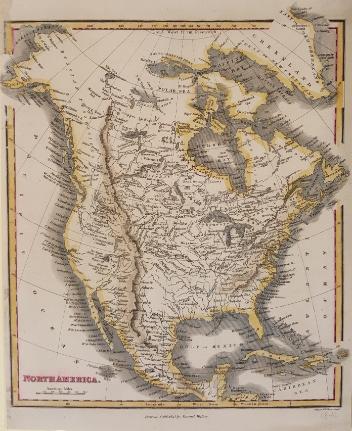
An accurate map of the British Empire in North America as settled by Preliminaries in 1762
John Gibson
1762
1979.104
The Provinces of New York and New Jersey; with part of Pensilvania, and the Governments of Trois Rivieres, and Montreal
Major Samuel Holland
1775
1981.783.1
Chart of the Atlantic Ocean, with the British, French & Spanish Settlements in North America and the West Indies; as also on the Coast of Africa
Thomas Jefferys
1768
1979.247
Chart of the Atlantic Ocean, with the British, French & Spanish Settlements in North America and the West Indies; as also on the Coast of Africa
Thomas Jefferys
1768
1979.248
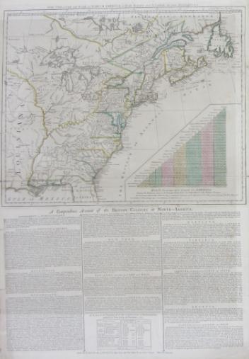
The theatre of war in North America, with the roads and a table of the distance.
Robert Sayer & John Bennett
1776
1970.1901
A map of the British Empire in America with the French and Spanish settements adjacent thereto
Henry Popple
1733
1980.490.1
This project is made possible thanks to the generous support of the Azrieli Foundation and Canadian Heritage.