

Skip to main contentMap - The theatre of war in North America, with the roads and a table of the distance. | McCord Museum Online Collections | McCord Museum - Montreal Social History Museum 


Map
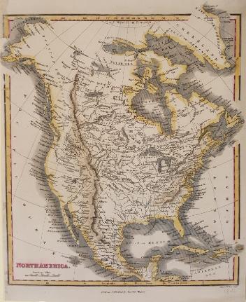
The theatre of war in North America, with the roads and a table of the distance.
Publisher
Robert Sayer & John Bennett
(1748-1794)
InscriptionsThe theatre of war in North America, with the roads and a table of the distance. Inset table / Evan's Polymetric Table of America; Showing the distances between the Principal Towns, forts and others places in the British Colonies. London, Printed for Rt. Sayer & Jn. Bennett, No 53 Fleet Street as the act directs 20th March 1776. A Compendious account of the British Colonies in North America. A Table of the population of the British Colonies in North-America published in New-Jersey , in November, 1765
Date
1776
Medium / Technique
Ink on paper
Intaglio
Intaglio
DimensionsHeight: 77.1 cm (30 3/8 in.)
Image width: 51 cm (20 1/16 in.)
Width: 54.7 cm (21 9/16 in.)
Image height: 41 cm (16 1/8 in.)
ClassificationTools & Equipment for Science & Technology - Surveying & Navigational T&E - Navigational Equipment
Origin
London, Greater London, England, Europe
Object Number1970.1901
DivisionArchives - Maps and Plans
CollectionStewart
Information about the objects in our collection is updated to reflect new research findings. If you have any information to share regarding this object, please email reference.mccord@mccord-stewart.ca.Information about rights and reproductions is available here.
A map exhibiting the dark shadow of the moon over England and other parts of Europe, in the five great solar eclipses, of the years 1715, 1724, 1737, 1748 and 1764
Robert Sayer
1794
1992.122
A new map of England and Wales in which the Roads or High-ways ar playnly layd forth...
Robert Walton
1679
1980.529
A New Chart of the Vast Atlantic Ocean Exhibiting the Seat of War both in Europe and America
Emanuel Bowen
1755
1970.2181
Chart of the Atlantic Ocean, with the British, French & Spanish Settlements in North America and the West Indies; as also on the Coast of Africa
Thomas Jefferys
1768
1979.247
Chart of the Atlantic Ocean, with the British, French & Spanish Settlements in North America and the West Indies; as also on the Coast of Africa
Thomas Jefferys
1768
1979.248
This project is made possible thanks to the generous support of the Azrieli Foundation and Canadian Heritage.