

Skip to main contentOnline Collections - Archives | McCord Museum 
Online Collections | McCord Museum - Montreal Social History Museum 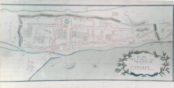


Archives
Refine Results
Object name
Date
People
Culture
City
Classification
Division
The Archives collection is composed of archival fonds devoted to individuals, families or organizations, or special collections organized around a theme or type of document. These archives cover the entire history of Canada, but focus more particularly on that of Montreal and Montrealers during the 19th and 20th centuries. The rare book collection features volumes and brochures published from the 17th to the 20th centuries.
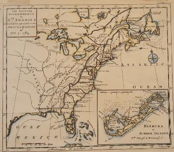
1 to 24 of 4,431
Montréal 1723 Plan de la Ville de Montréal en Canada
Pierre Moullart-Sanson
1877
1970.571
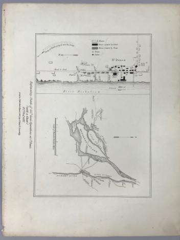
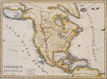
Explanatory Sketch of Colonel Gore's Operations at St Denis (with a Chart) 23rd, November, 1837
Lord Charles Beauclerk
1840
1970.1061
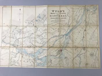
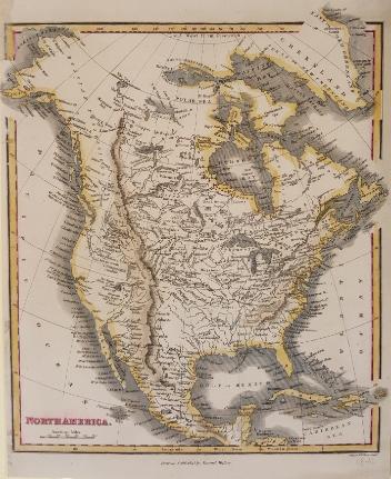
Wyld's sketch of the Country around Montreal shewing the Villages and Military Positions
James Wyld
1837
1970.1834
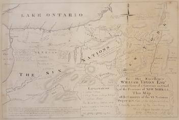
The theatre of war in North America, with the roads and a table of the distance.
Robert Sayer & John Bennett
1776
1970.1901
[Le fleuve Saint-Laurent entre Québec et les chutes du Niagara]
Alfred Rudolph Waud
1850
1970.1912
This project is made possible thanks to the generous support of the Azrieli Foundation and Canadian Heritage.