

Skip to main contentCarte géographique - North America | Musée McCord Collections en ligne | Musée McCord - Musée d’histoire sociale de Montréal 


Carte géographique
North America
Graveur
Illman & Pilbrow
InscriptionsNorth America. Boston. Published by Samuel Waller, Illman & Pilbrow Sculpt.
Date
1846
Médium / Technique
Encre et aquarelle sur papier
Taille douce
Taille douce
DimensionsHauteur : 26,6 cm (10 1/2 po)
Largeur de l'image : 20,5 cm (8 1/16 po)
Largeur : 22,4 cm (8 13/16 po)
Hauteur de l'image : 22,3 cm (8 3/4 po)
Origin
Boston, Nouvelle-Angleterre, Massachusetts, États-Unis, Amérique du Nord
Numéro d'accession1970.1896
DivisionArchives - Cartes et plans
CollectionStewart
L’information sur les objets de nos collections est mise à jour afin de refléter les résultats de nouvelles recherches. Si vous avez des renseignements au sujet de cet objet à nous communiquer, veuillez faire parvenir un courriel à reference.mccord@mccord-stewart.ca.L’information au sujet des droits d’auteur et des reproductions se trouve ici.
A Map of the british and french settlements in North America
John Lodge
1755
1979.105
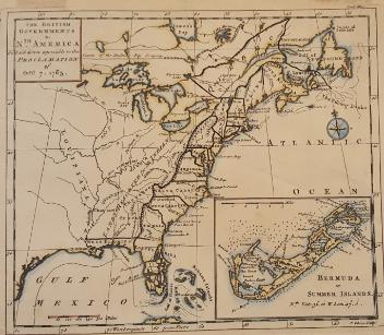
The theatre of war in North America, with the roads and a table of the distance.
Robert Sayer & John Bennett
1776
1970.1901
Chart of the Atlantic Ocean, with the British, French & Spanish Settlements in North America and the West Indies; as also on the Coast of Africa
Thomas Jefferys
1768
1979.247
Chart of the Atlantic Ocean, with the British, French & Spanish Settlements in North America and the West Indies; as also on the Coast of Africa
Thomas Jefferys
1768
1979.248
An accurate map of the British Empire in North America as settled by Preliminaries in 1762
John Gibson
1762
1979.104
A new and exact map of the Dominions of the King of Great Britain on ye continent of North America...
Herman Moll
1715
1979.587
Part of North America containing Canada...
Didier Robert de Vaugondy
1750
1978.1963
Ce projet est rendu possible grâce au généreux soutien de la Fondation Azrieli et de Patrimoine canadien.