

Skip to main contentCarte géographique - A Map of the Country between Crown Point and Fort Edward | Musée McCord 
Collections en ligne | Musée McCord - Musée d’histoire sociale de Montréal 


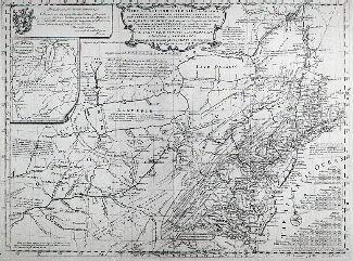


Carte géographique
A Map of the Country between Crown Point and Fort Edward
InscriptionsA map of the country between Crown Point and Fort Edward / (Dieskau's route in operations against the british between Fort Wm. Henry and Ticonderonga 1755) (map scale in miles)
Date
1755 ?
Médium / Technique
Encre et aquarelle sur papier
Taille douce
Taille douce
DimensionsHauteur : 20,9 cm (8 1/4 po)
Largeur de l'image : 11 cm (4 5/16 po)
Largeur : 12,4 cm (4 7/8 po)
Hauteur de l'image : 18,6 cm (7 5/16 po)
Origin
Angleterre, Europe
Numéro d'accession1970.2122
DivisionArchives - Cartes et plans
CollectionStewart
Status
Non exposéL’information sur les objets de nos collections est mise à jour afin de refléter les résultats de nouvelles recherches. Si vous avez des renseignements au sujet de cet objet à nous communiquer, veuillez faire parvenir un courriel à reference.mccord@mccord-stewart.ca.L’information au sujet des droits d’auteur et des reproductions se trouve ici.
Sectional Map Indicating Main Automobile Roads between Canada & United States
1929
W.2012.38.1-3
A Chart Shewing the several places of action between English and Spanish fleets...
Hubert François Gravelot
1739
1979.516
A Correct Drawing of the North Pole and of all the countries...
Emanuel Bowen
1752
1979.267
A Map of the british and french settlements in North America
John Lodge
1755
1979.105
A New Map of the most considerable plantations of the English in America
Edward Wells
1700
1979.240
Carte d'une partie de l'Amérique Septentrionale Pour servir a l'Intelligence du Mémoire sur les Prétentions des Anglois au sujet des Limites à règler avec le France dans cette Partie du Monde; A map exhibiting a view of the English rights, relative to the ancient limits of Acadia, as supported by Express & incontestable authorities, in opposition to that of ye French
Thomas Jefferys
1768
1979.249
Ce projet est rendu possible grâce au généreux soutien de la Fondation Azrieli et de Patrimoine canadien.