

Skip to main contentCarte géographique - [Sea-coasts of England] | Musée McCord Collections en ligne | Musée McCord - Musée d’histoire sociale de Montréal ![[Sea-coasts of England]](/internal/media/dispatcher/247981/thumbnail)


![[Cotes de la Bretagne]](/internal/media/dispatcher/260884/thumbnail)


![A chart of the Sea Coast of New Foundland [...]](/internal/media/dispatcher/257046/thumbnail)

![[Sea-coasts of England]](/internal/media/dispatcher/247980/mccord768watermark)


Carte géographique
[Sea-coasts of England]
Dessinateur
Hubert François Gravelot
(1699-1773)
Artiste
Robert Adams
(1540-1595)
Éditeur
John Pine
(1690 - 1756)
Inscriptionsb. g.: H. Gravelot delin; b. c.: Publish'd by John Pine, June 24 1739, according to Act of Parliament; b. d.: J. Pine Sculp.
Date
1739
Médium / Technique
Encre sur papier
Taille douce
Taille douce
DimensionsHauteur : 38,7 cm (15 1/4 po)
Largeur de l'image : 60 cm (23 5/8 po)
Largeur : 62,5 cm (24 5/8 po)
Hauteur de l'image : 37 cm (14 9/16 po)
Origin
London, Londres, Grand Londres, Angleterre, Europe
Numéro d'accession1979.282
DivisionArchives - Cartes et plans
CollectionStewart
CréditAchat
Status
Non exposéL’information sur les objets de nos collections est mise à jour afin de refléter les résultats de nouvelles recherches. Si vous avez des renseignements au sujet de cet objet à nous communiquer, veuillez faire parvenir un courriel à reference.mccord@mccord-stewart.ca.
L’information au sujet des droits d’auteur et des reproductions se trouve ici.
A Chart Shewing the several places of action between English and Spanish fleets...
Hubert François Gravelot
1739
1979.516
A chart of the Sea coast from England to the Streights
Samuel Thornton
1706
1979.290
A new chart of the coast of New England, Nova Scotia, New France or Canada with the islands of Newfoundl'd Cape Breton St John & C
Jacques Nicolas Bellin
1763
1979.298
A new chart of the coast of New England, Nova Scotia, New France or Canada with the islands of Newfoundland, Cape Breton, St. John's
Jacques Nicolas Bellin
1763
1980.510
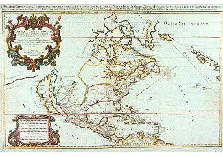
Amérique Septentrionale divisée en ses principales parties
Alexis Hubert Jaillot
1690
1979.215
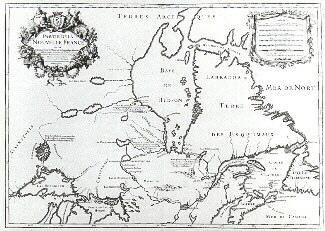
Le Canada ou Partie de la Nouvelle France dans l'Amérique Septentrionale
Alexis Hubert Jaillot
1696
1979.221
Chart of the Atlantic Ocean, with the British, French & Spanish Settlements in North America and the West Indies; as also on the Coast of Africa
Thomas Jefferys
1768
1979.247
Ce projet est rendu possible grâce au généreux soutien de la Fondation Azrieli et de Patrimoine canadien.