

Skip to main contentMap - [Sea-coasts of England] | McCord Museum Online Collections | McCord Museum - Montreal Social History Museum ![[Sea-coasts of England]](/internal/media/dispatcher/247981/thumbnail)


![[Cotes de la Bretagne]](/internal/media/dispatcher/260884/thumbnail)


![A chart of the Sea Coast of New Foundland [...]](/internal/media/dispatcher/257046/thumbnail)

![[Sea-coasts of England]](/internal/media/dispatcher/247980/mccord768watermark)


Map
[Sea-coasts of England]
Draughtsman
Hubert François Gravelot
(1699-1773)
Artist
Robert Adams
(1540-1595)
Publisher
John Pine
(1690 - 1756)
Inscriptionsb. g.: H. Gravelot delin; b. c.: Publish'd by John Pine, June 24 1739, according to Act of Parliament; b. d.: J. Pine Sculp.
Date
1739
Medium / Technique
Ink on paper
Intaglio
Intaglio
DimensionsHeight: 38.7 cm (15 1/4 in.)
Image width: 60 cm (23 5/8 in.)
Width: 62.5 cm (24 5/8 in.)
Image height: 37 cm (14 9/16 in.)
ClassificationTools & Equipment for Science & Technology - Surveying & Navigational T&E - Navigational Equipment
Origin
London, Greater London, England, Europe
Object Number1979.282
DivisionArchives - Maps and Plans
CollectionStewart
CreditPurchase
Status
Not on viewInformation about the objects in our collection is updated to reflect new research findings. If you have any information to share regarding this object, please email reference.mccord@mccord-stewart.ca.Information about rights and reproductions is available here.
A Chart Shewing the several places of action between English and Spanish fleets...
Hubert François Gravelot
1739
1979.516
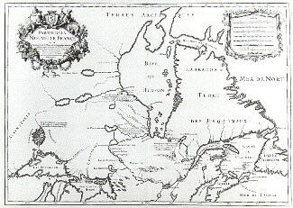
Le Canada ou Partie de la Nouvelle France dans l'Amérique Septentrionale
Alexis Hubert Jaillot
1696
1979.221
A new chart of the coast of New England, Nova Scotia, New France or Canada with the islands of Newfoundland, Cape Breton, St. John's
Jacques Nicolas Bellin
1763
1980.510
A new chart of the coast of New England, Nova Scotia, New France or Canada with the islands of Newfoundl'd Cape Breton St John & C
Jacques Nicolas Bellin
1763
1979.298
Chart of the Track of the Dolphin, Tamar, Swallow & Endeavour, through the South Seas; & of the Track of M. Bougainville round the World
Louis-Antoine de Bougainville
1786
1979.186
This project is made possible thanks to the generous support of the Azrieli Foundation and Canadian Heritage.