

Skip to main contentMap - Lower Canada | McCord Museum Online Collections | McCord Museum - Montreal Social History Museum 


![[Carte des missions jésuites à travers le monde]](/internal/media/dispatcher/245357/thumbnail)


Map
Lower Canada
Engraver
J. Knight
Printer
Tanner & Disturnell
Publisher
Henry Schenck Tanner
(1786-1858)
InscriptionsLower Canada. Published by H. S. Tanner, Philadelphia, Tanner & Disturnell, 124 Broadway, New-York, J. Knight sculp.
Date
1833
Medium / Technique
Ink on paper
Etching
Etching
DimensionsHeight: 33.8 cm (13 5/16 in.)
Image width: 37.3 cm (14 11/16 in.)
Width: 42 cm (16 9/16 in.)
Image height: 29.5 cm (11 5/8 in.)
ClassificationTools & Equipment for Science & Technology - Surveying & Navigational T&E - Navigational Equipment
Origin
New York, New York, United States, North America
Object Number1970.1911
DivisionArchives - Maps and Plans
CollectionStewart
Information about the objects in our collection is updated to reflect new research findings. If you have any information to share regarding this object, please email reference.mccord@mccord-stewart.ca.Information about rights and reproductions is available here.
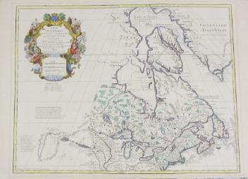
Carte de Canada qui comprend la Partie Septentrionale des Etats Unis d'Amerique
Guillaume de L'Isle
1783
1976.113.5
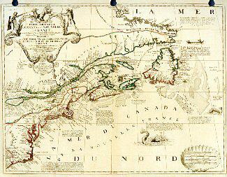
Carte Particulière du Fleuve Saint Louis dressee sur les lieux avec les noms des sauvages du pais; des marchandises qu'on y porte & qu'on en reçoit, & des animaux, insectes, poissons, arbres & fruits des parties septentrio'es & meridion'es de ce païs.
Henri Abraham Chatelain
1732
1980.512
Partie orientale du Canada ou de la Nouvelle-Franceou sont les Provinces ou Pays du Saguenay, Canada, Acadie, etc., les Peuples ou Nations des Etèchemins, Iroquois, Attiquameches, etc.
Jean Baptiste Nolin
1689
1987.55
A plan of the Straits of St. Mary and Michilimakinac to show the situation & importance of the two Western most Settlements of Canada for the Fur Trade
1761
1979.97
A plan of the Straits of St. Mary and Michilimakinac to show the situation & importance of the two Westernmost Settlements of Canada for the Fur Trade
1761
1979.96
This project is made possible thanks to the generous support of the Azrieli Foundation and Canadian Heritage.