

Skip to main contentMap - North America | McCord Museum Online Collections | McCord Museum - Montreal Social History Museum 


Map
North America
Engraver
Illman & Pilbrow
InscriptionsNorth America. Boston. Published by Samuel Waller, Illman & Pilbrow Sculpt.
Date
1846
Medium / Technique
Ink and watercolour on paper
Intaglio
Intaglio
DimensionsHeight: 26.6 cm (10 1/2 in.)
Image width: 20.5 cm (8 1/16 in.)
Width: 22.4 cm (8 13/16 in.)
Image height: 22.3 cm (8 3/4 in.)
ClassificationTools & Equipment for Science & Technology - Surveying & Navigational T&E - Navigational Equipment
Origin
Boston, New England, Massachusetts, United States, North America
Object Number1970.1896
DivisionArchives - Maps and Plans
CollectionStewart
Information about the objects in our collection is updated to reflect new research findings. If you have any information to share regarding this object, please email reference.mccord@mccord-stewart.ca.Information about rights and reproductions is available here.
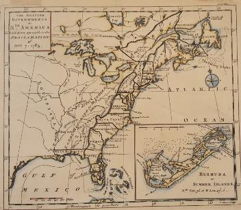
The theatre of war in North America, with the roads and a table of the distance.
Robert Sayer & John Bennett
1776
1970.1901
Chart of the Atlantic Ocean, with the British, French & Spanish Settlements in North America and the West Indies; as also on the Coast of Africa
Thomas Jefferys
1768
1979.247
Chart of the Atlantic Ocean, with the British, French & Spanish Settlements in North America and the West Indies; as also on the Coast of Africa
Thomas Jefferys
1768
1979.248
An accurate map of the British Empire in North America as settled by Preliminaries in 1762
John Gibson
1762
1979.104
A new and exact map of the Dominions of the King of Great Britain on ye continent of North America...
Herman Moll
1715
1979.587
This project is made possible thanks to the generous support of the Azrieli Foundation and Canadian Heritage.