

Skip to main contentCarte géographique - Map of the Nile Valley | Musée McCord 
Collections en ligne | Musée McCord - Musée d’histoire sociale de Montréal 


Carte géographique
Map of the Nile Valley
Période
20e siècle
Médium / Technique
Encre sur papier
Chromolithographie
Chromolithographie
DimensionsHauteur : 52,2 cm (20 9/16 po)
Largeur : 24,6 cm (9 11/16 po)
Origin
New York, New York, New York, États-Unis, Amérique du Nord
Numéro d'accession1970.2087
DivisionArchives - Cartes et plans
CollectionStewart
Status
Non exposéL’information sur les objets de nos collections est mise à jour afin de refléter les résultats de nouvelles recherches. Si vous avez des renseignements au sujet de cet objet à nous communiquer, veuillez faire parvenir un courriel à reference.mccord@mccord-stewart.ca.L’information au sujet des droits d’auteur et des reproductions se trouve ici.
Sectional Map Indicating Main Automobile Roads between Canada & United States
1929
W.2012.38.1-3
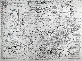
A New Map of the most considerable plantations of the English in America
Edward Wells
1700
1979.240
Carte d'une partie de l'Amérique Septentrionale Pour servir a l'Intelligence du Mémoire sur les Prétentions des Anglois au sujet des Limites à règler avec le France dans cette Partie du Monde; A map exhibiting a view of the English rights, relative to the ancient limits of Acadia, as supported by Express & incontestable authorities, in opposition to that of ye French
Thomas Jefferys
1768
1979.249
A Map of the Present Seat of War on the Borders of Canada.
Robert Aitken
1775
1970.3027
An accurate map of the British Empire in North America as settled by Preliminaries in 1762
John Gibson
1762
1979.104
A new map of England and Wales in which the Roads or High-ways ar playnly layd forth...
Robert Walton
1679
1980.529
Ce projet est rendu possible grâce au généreux soutien de la Fondation Azrieli et de Patrimoine canadien.