

Skip to main contentIntaglio print - Ancien Continent | McCord Museum 
Online Collections | McCord Museum - Montreal Social History Museum 


Intaglio print
Ancien Continent
Artist
Alain Manesson Mallet
(1630-1706)
Marks or LabelsAncien Continent (Eastern Hemisphere)
Date
1683
Medium / Technique
Ink on paper
Intaglio, hand-coloured
Intaglio, hand-coloured
DimensionsHeight: 21 cm (8 1/4 in.)
Image width: 9.5 cm (3 3/4 in.)
Width: 13.6 cm (5 3/8 in.)
Image height: 13.5 cm (5 5/16 in.)
Origin
Paris, Île-de-France, France, Europe
Object Number1980.79
DivisionArchives - Maps and Plans
CollectionStewart
CreditPurchase
Status
Not on viewInformation about the objects in our collection is updated to reflect new research findings. If you have any information to share regarding this object, please email reference.mccord@mccord-stewart.ca.Information about rights and reproductions is available here.
Plan de l'Histoire universelle, où l'on voit les quatre Monarchies du Monde, et tous les Anciens États aussi bien que ceux qui subsistent aujourd'huy.
Henri Abraham Chatelain
1739
1979.251
L'Amérique ou le Nouveau Continent dressée sur les Mémoires les plus nouveaux et sur les Relations les plus récentes, rectifiez sur les dernières Observations.
Jean Baptiste Nolin
1742
1983.379
A new and exact map of the Dominions of the King of Great Britain on ye continent of North America...
Herman Moll
1715
1979.587
Carte Nouvelle de l'Amérique Angloise contenant tout ce que les Anglois possedent sur le continent de l'Amérique Septentrionale savoir le Canada, la nouvelle Ecosse ou Acadie
Matthaus Albrecht Lotter
1778
1980.537.1
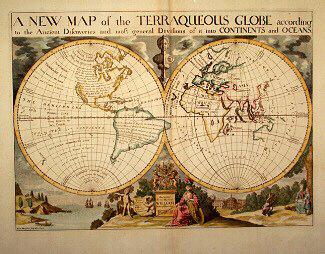
A NEW MAP of the TERRAQUEOUS GLOBE according to the Ancient Discoveries and most general Divisions of it into CONTINENTS and OCEANS
Edward Wells
1700-1738
1979.194
Plan of the Forts Ontario and Oswego, with Part of the Rivetr Onondago and Lake Ontario
1757
1979.168
This project is made possible thanks to the generous support of the Azrieli Foundation and Canadian Heritage.