

Skip to main contentMap - America | McCord Museum 
Online Collections | McCord Museum - Montreal Social History Museum 


Map
America
Artist
Giovanni Lorenzo Anania
(1545?-1609?)
Date
1582
Medium / Technique
Ink on paper
Wood engraving
Wood engraving
DimensionsHeight: 22 cm (8 11/16 in.)
Image width: 24.7 cm (9 3/4 in.)
Width: 30.4 cm (11 15/16 in.)
Image height: 18.7 cm (7 3/8 in.)
ClassificationTools & Equipment for Science & Technology - Surveying & Navigational T&E - Navigational Equipment
Origin
Italy, Europe
Object Number1979.547.3
DivisionArchives - Maps and Plans
CollectionStewart
CreditPurchase
Status
Not on viewInformation about the objects in our collection is updated to reflect new research findings. If you have any information to share regarding this object, please email reference.mccord@mccord-stewart.ca.Information about rights and reproductions is available here.
A New map of the North Parts of America claimed by France under ye names of Louisiana, Mississipi, Canada and New France with ye adjoyning territories of England and Spain
Herman Moll
1720
1979.250
La America Dispuesta segun las ultimas, y nuevas observationes de las Accademias, y de Paris y de Londres
1740
1979.208
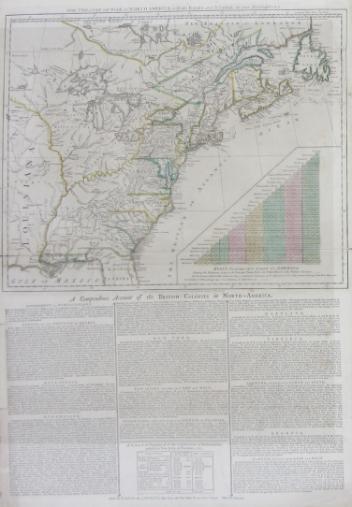
The theatre of war in North America, with the roads and a table of the distance.
Robert Sayer & John Bennett
1776
1970.1901
This project is made possible thanks to the generous support of the Azrieli Foundation and Canadian Heritage.