

Skip to main contentMap - Europ and the chiefe cities contained therein, described; with the habits of most Kingdoms now in use | McCord Museum 
Online Collections | McCord Museum - Montreal Social History Museum 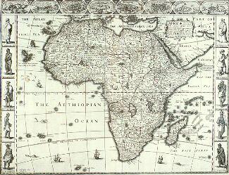


Map
Europ and the chiefe cities contained therein, described; with the habits of most Kingdoms now in use
Artist
John Speed
(1552-1629)
Engraver
Abraham Goos
(1590-1643?)
Inscriptionscartouche: EUROP, and the chiefe / Cities contained therin, descri: / bed; with the habits of most / Kingdoms now in use. / By Jo: Speed / Ano Dom. 1626
Date
1626
Medium / Technique
Ink on paper
Engraving, hand-coloured
Engraving, hand-coloured
DimensionsHeight: 44.5 cm (17 1/2 in.)
Image width: 51.3 cm (20 3/16 in.)
Width: 57.2 cm (22 1/2 in.)
Image height: 39.4 cm (15 1/2 in.)
ClassificationTools & Equipment for Science & Technology - Surveying & Navigational T&E - Navigational Equipment
Origin
London, Greater London, England, Europe
Object Number1981.500
DivisionArchives - Maps and Plans
CollectionStewart
Status
Not on viewInformation about the objects in our collection is updated to reflect new research findings. If you have any information to share regarding this object, please email reference.mccord@mccord-stewart.ca.Information about rights and reproductions is available here.
America. To Her Most Sacred Majesty Caroline, Queen of Great Britain...
Henry Overton
1740
1979.532
A new and correct map of the world projected upon the plane of The Horizon laid down from the newest discoveries and most exact observations
Charles Price
1714
1979.196
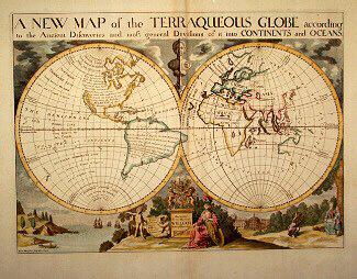
A NEW MAP of the TERRAQUEOUS GLOBE according to the Ancient Discoveries and most general Divisions of it into CONTINENTS and OCEANS
Edward Wells
1700-1738
1979.194
A plan of the Straits of St. Mary and Michilimakinac to show the situation & importance of the two Western most Settlements of Canada for the Fur Trade
1761
1979.97
A New Map of the most considerable plantations of the English in America
Edward Wells
1700
1979.240
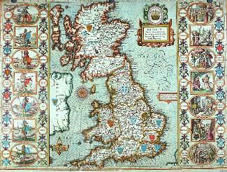
The Countie Pallatine of Lancaster Described and Divided into Hundreds
John Speed
1610
1980.515
This project is made possible thanks to the generous support of the Azrieli Foundation and Canadian Heritage.